Case Study — 2026
BookRanger
Adventure is a bike ride and a book away.
Little Free Libraries, public libraries, and trail markers already sit on every other block. BookRanger gives them a discovery layer — a mapped network you tap into on foot or by bike.
- Role
- Product Design & Systems Architecture
- Sector
- Civic literacy & micro-mobility
- Status
- Pilot in development
- Surface
- iOS · NFC · Live map
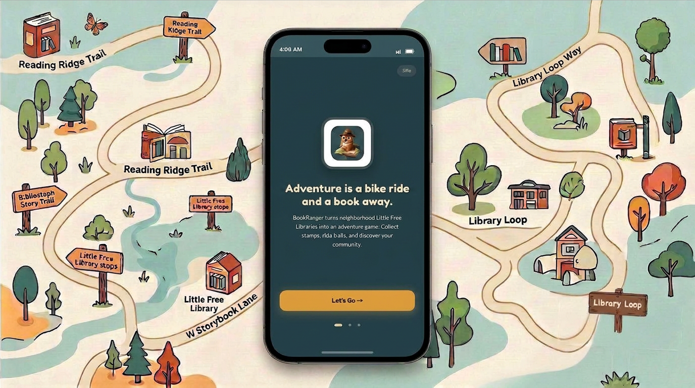
00 Reading Ridge Trail — the network drawn as a field guide
The premise
Civic infrastructure has no engagement layer. Trails, libraries, and bike networks each keep their own records and none of them speak to a rider.
BookRanger is one system across all three: a stop registry, a stamp ledger, and a route builder that strings stops into named trails. Partners get co-branded dashboards and real engagement data; riders get a reason to take the long way home.
How it works
- 01
Tap in
NFC checkpoints at libraries, trail markers, and park plaques. One tap logs the visit.
- 02
Find the route
A live map strings nearby stops into named trails worth riding or walking.
- 03
Keep the record
Stamps, streaks, and rare drops turn a single visit into a habit.
Stronger neighbourhoods, one book at a time.
Read locally. Explore actively. Build community.